Fishery Beach
A sheltered fishing beach a few kilometres east of Cape Jervis, the site of an 1840s whaling station and the shipping port for the historic Talisker Mine.
A historic working beach
Fishery Beach sits in a sheltered cove a few kilometres east of Cape Jervis, reached by a short gravel road. The beach takes its name from a whaling station that operated here in the 1840s, and from its later role as the shipping port for the Talisker silver-lead mine in the bush above - lead and silver were carted down to Fishery Beach for loading onto ships.
What's there now
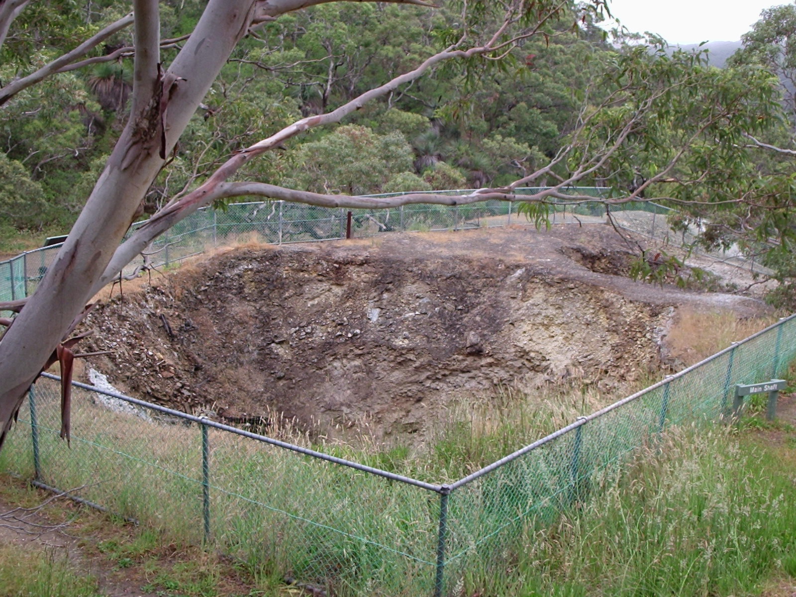
A quiet, sheltered cove popular with local fishers and the occasional camping group. Heritage ruins of the whaling station and mining infrastructure can still be found along the foreshore. The walk along the beach and around the headlands is one of the more interesting half-day outings on the southern Fleurieu.
Practical
Free entry, basic amenities, no toilets. 4WD recommended in wet weather. Combine with a visit to Talisker Conservation Park up the hill.
Find it on the map
Good to know
Got a photo of Fishery Beach?
Share your best shot. If we use it in the gallery, you'll be credited by name. Photos are reviewed before going live.
Featured in
Last verified 3 months ago
Within a short drive
Places within 5km of Fishery Beach
You might also like
Similar experiences across Fleurieu Peninsula

